February 17, 2020
SpaceNet - Datasets

Since 2017, Topcoder has partnered with SpaceNet to develop computer vision solutions for geospatial imagery. By making these data sets available to the Topcoder community, our hope is that the state of automated feature extraction can be furthered and that important downstream uses of the data, such as humanitarian and disaster response, can be improved.
Dataset Links
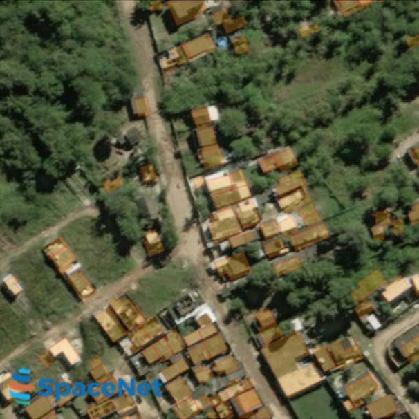
Getting Started with SpaceNet Data
SpaceNet’s guide to accessing, understanding, and using their data.
Visit Page
SpaceNet Utilities
Packages intended to assist in the preprocessing of SpaceNet satellite imagery data corpus to a format that is consumable by machine learning algorithms.
Visit Page
SpaceNet Data
A corpus of commercial satellite imagery and labeled training data to foster innovation in the development of computer vision algorithms.
Visit Page
History of Our Work
Visualizer for Building Detector Challenges
A visualizer application to let you view grayscale, 3-band and 8-band images, view ground truth building footprints, and your solution’s building footprint as overlays on these images.
Visit Page
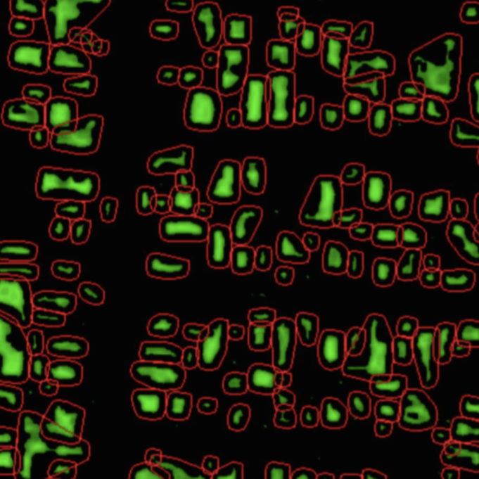
SpaceNet 1: Building Extraction Challenge
In this challenge, competitors are tasked with developing automated methods for extracting map-ready building footprints from high-resolution satellite imagery.
Visit Page
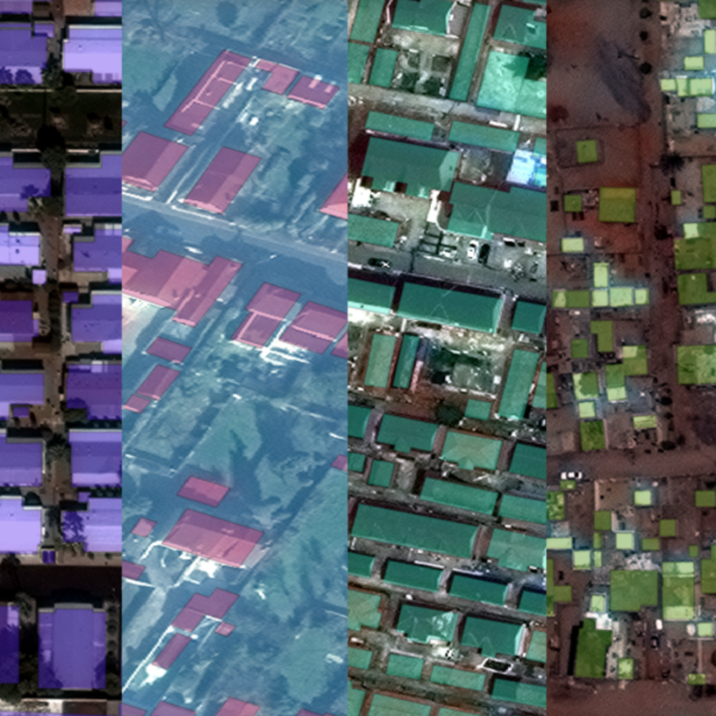
SpaceNet 2: Building Extraction Challenge Pt. II
As with SpaceNet 1, this challenge tasked competitors with developing automated methods for extracting map-ready building footprints from high-resolution satellite imagery. The second round included more data, new imagery formats, and improved building footprint annotations.
Visit Page
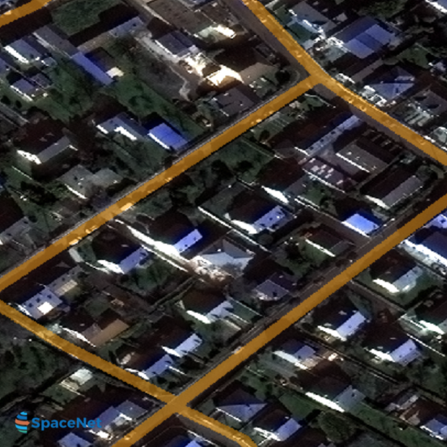
SpaceNet 3: Road Network Detection
Moving towards more accurate fully automated extraction of road networks will help bring innovation to computer vision methodologies applied to high-resolution satellite imagery, and ultimately help create better maps where they are needed most.
Visit Page
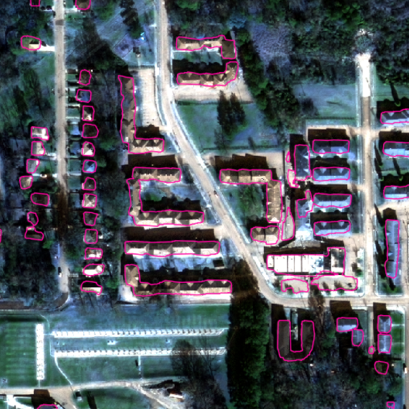
SpaceNet 4: Off-Nadir Imagery
Emerging next generation earth imaging satellite constellations that will provide more frequent revisists will tend to have higher off-nadir (collected from angles that are not straight down) imagery. The ability to use higher off-nadir imagery will allow for more flexibility in acquiring and using satellite imagery after a disaster.
Visit Page
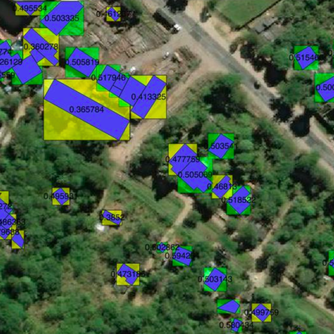
SpaceNet Scoring Strategy
An explanation of the metric used to score SpaceNet Challenges—the Jaccard Index, also known as the Intersection-of-Union (IOU)—along with its benefits and limitations.
Visit Page
Blogs and Discussions
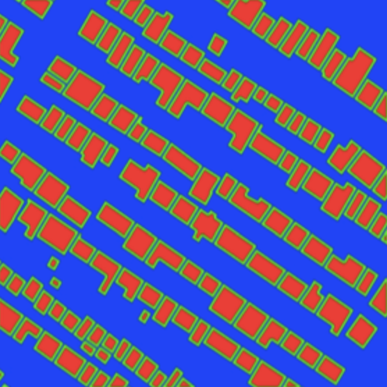
Object Detection on SpaceNet
This post presents a walk through of an object detection process applied to SpaceNet imagery. Sample Python code is included to demonstrate basic GIS functionality within Python and neural network design in TensorFlow.
Visit Page
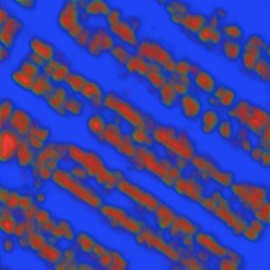
TechCrunch: SpaceNet Satellite Imagery Repository Launched
With an increase in the number of CubeSats, high-resolution satellites and drones of every shape and size, we have accumulated petabytes of imaging data that can be processed with analytics to solve myriad problems.
Visit Page
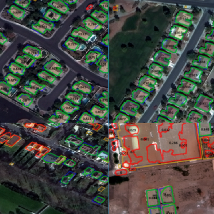
Nvidia: Exploring the SpaceNet Dataset Using DIGITS
NVIDIA is proud to support SpaceNet by demonstrating an application of the SpaceNet data that is made possible using GPU-accelerated deep learning. In this post we demonstrate how DIGITS can be used to train two different types of convolutional neural network for detecting buildings in the SpaceNet 3-band imagery.
Visit Page
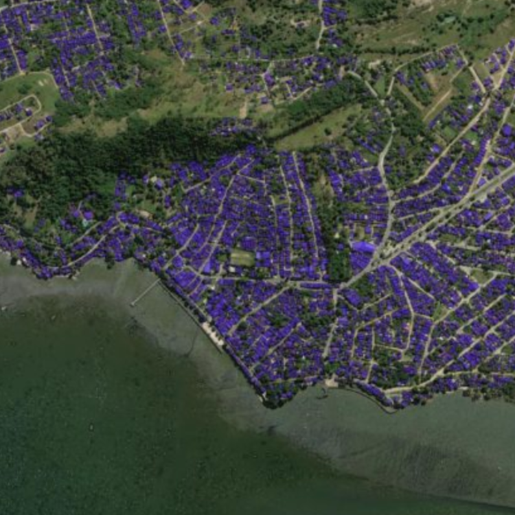
Topcoder- The SpaceNet Challenge: Chat with Experts – Live Event
A virtual session providing background on the SpaceNet Challenges, their formulation and humanitarian efforts they support, some details about the data, and q&a.
Visit Page
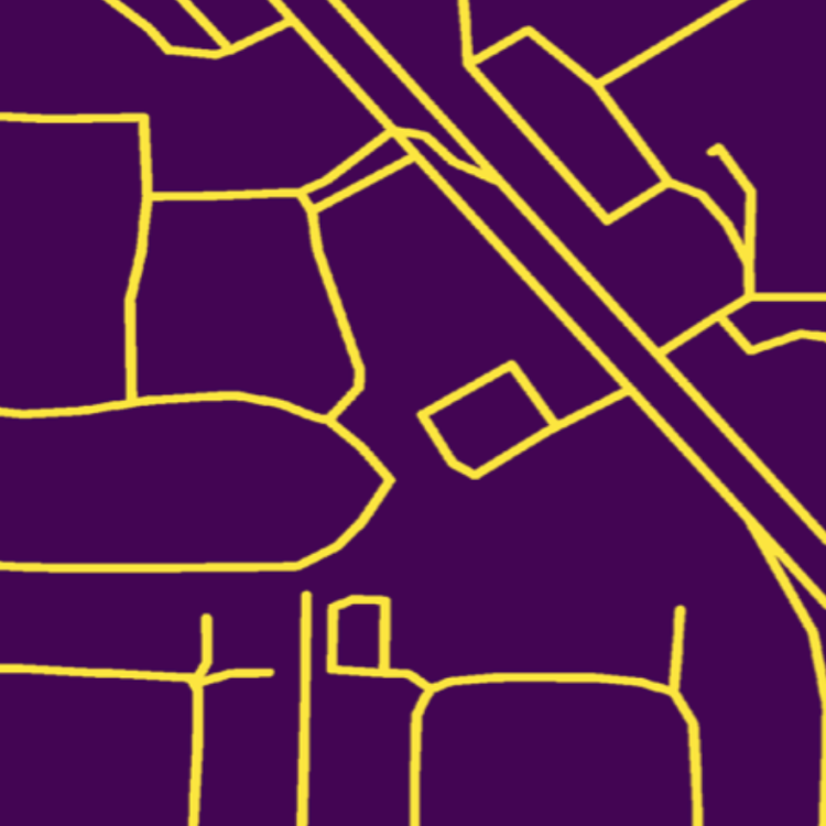
Creating Training Datasets for the SpaceNet Road Detection and Routing Challenge
The SpaceNet dataset contains over 8,000 km of hand-labeled and validated road centerlines, with attendant high-resolution 30 cm satellite imagery. This dataset provides the basis for the SpaceNet Road Network Extraction Challenge, with the goal of automatically extracting the road network graph structure directly from satellite imagery.
Visit Page
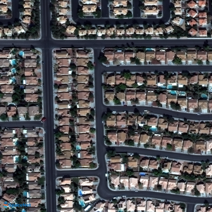
SpaceNet: A Remote Sensing Dataset and Challenge Series
Foundational mapping remains a challenge in many parts of the world, particularly during dynamic scenarios such as natural disasters when timely updates are critical. Modifying maps is currently a highly manual process requiring a large number of human labelers to either create features or rigorously validate automated outputs. We propose that the frequent revisits of earth imaging satellite constellations may accelerate existing efforts to quickly revise foundational maps when combined with advanced machine learning techniques.
Visit Page